User Guide
Request Formatting Guide

Detailed User Guide
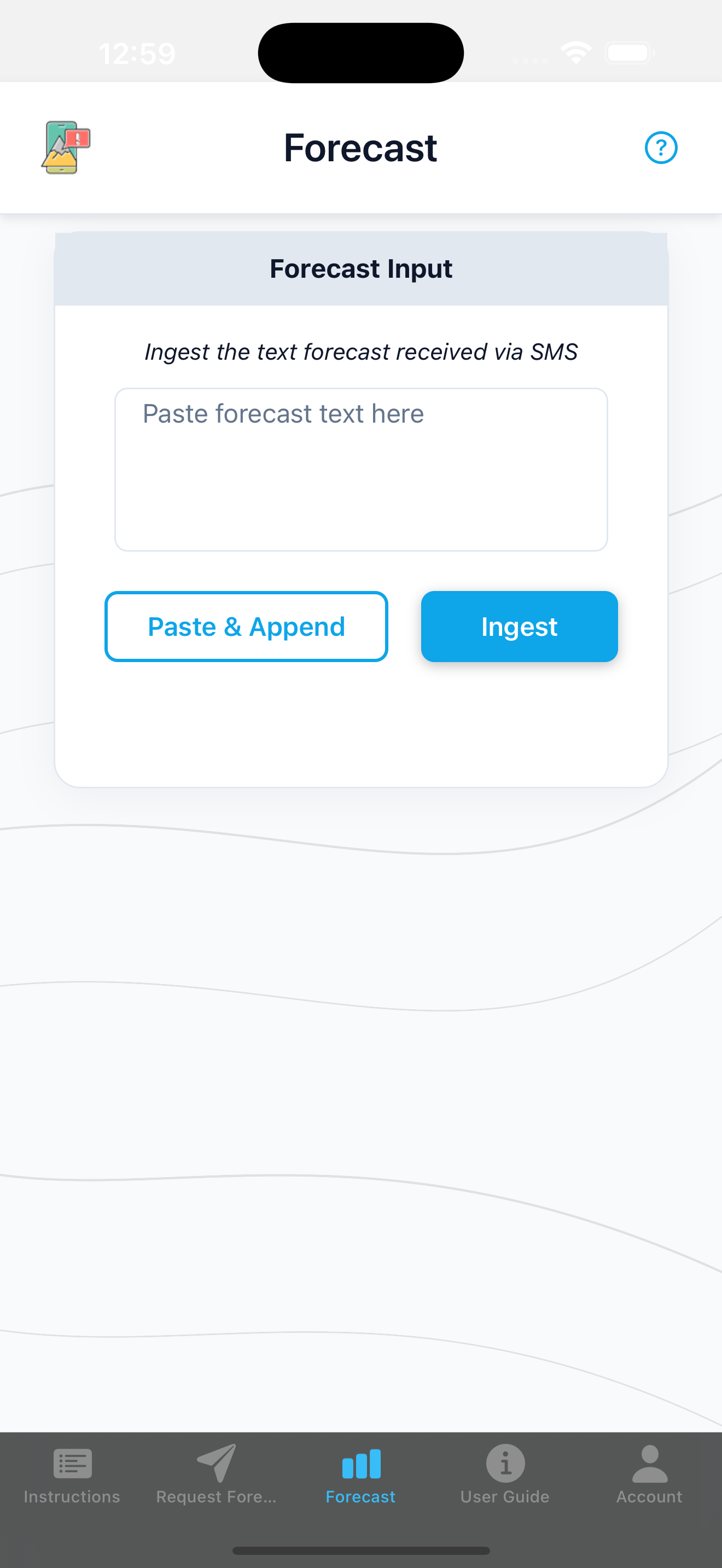
In case of operation without the free app
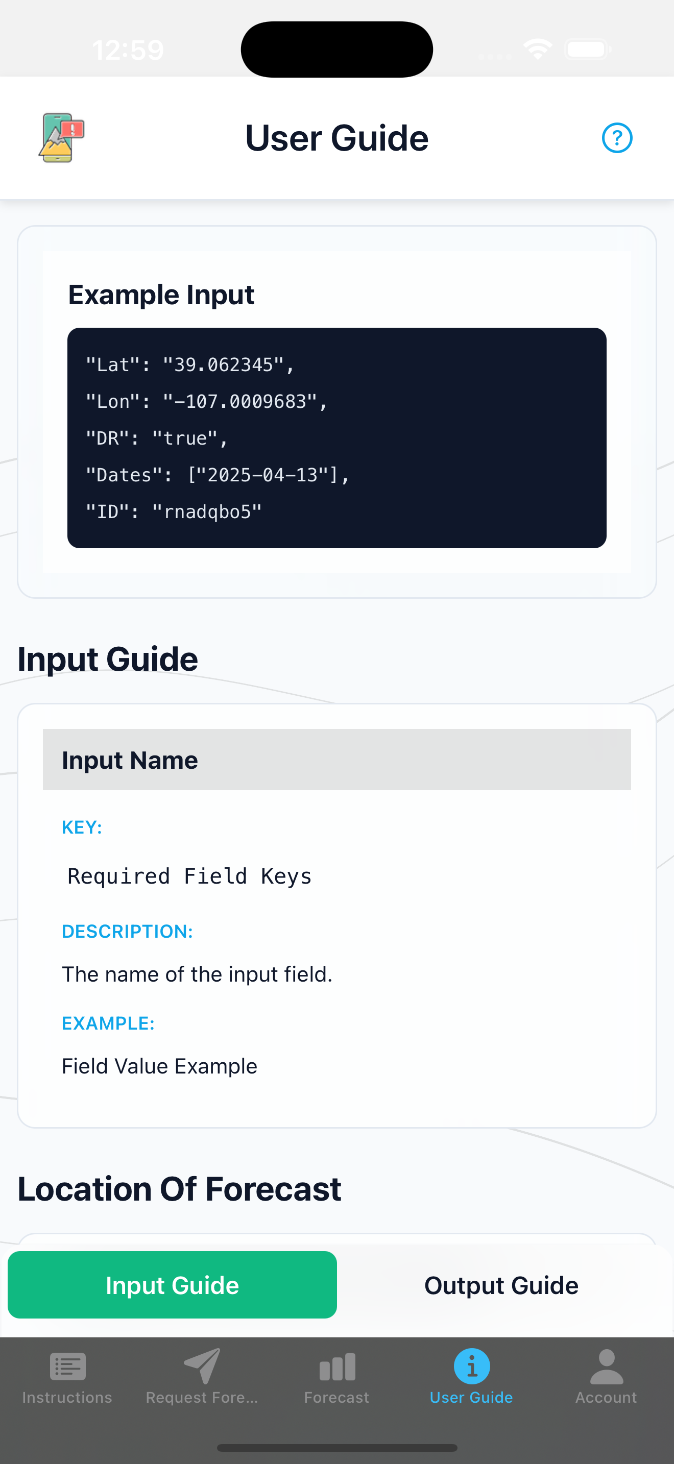
Example Input
An example of the text used to request a forecast from TextMeAvy.
"DR": "true",
"Dates": ["2025-04-16", "2025-04-17"],
"ID": "as46gads"
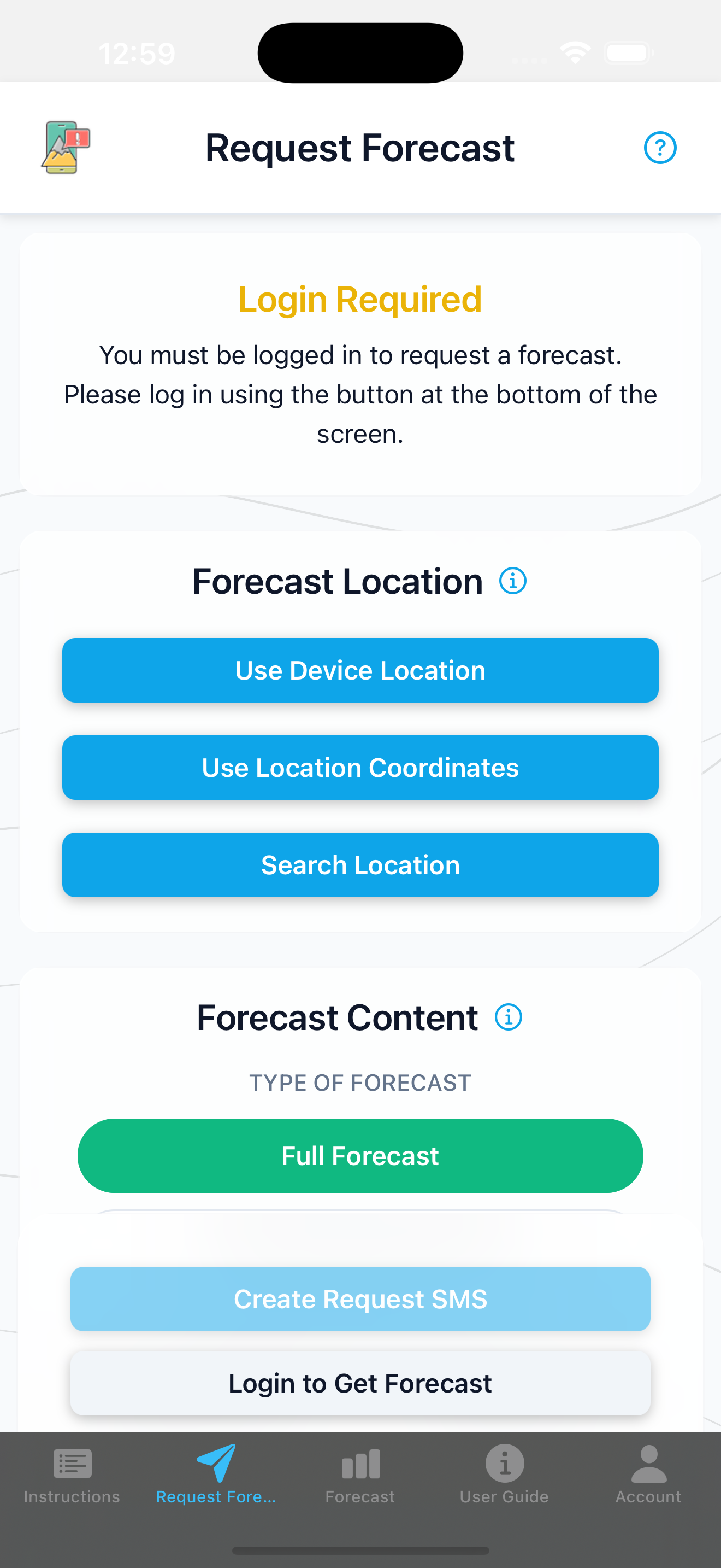
Input Fields
Click on a field name below to see its description and highlight it in the example (if applicable).
Note: Provide either Lat/Lon or Search, not both.
Search
Lat, Lon
DR
Dates
ID
Description: A string to define the location of the forecast (e.g., a town, pass, or landmark).
Search text not shown in 'Example Input' section above. Only use of Lat, Lon text is shown.
Example: "Search": "Hoosier Pass, CO"
Description: The latitude and longitude for the forecast location.
Example: "Lat": "39.6023817", "Lon": "-106.0089899"
Description: A boolean ("true" or "false") to indicate if the detailed forecast discussion should be included in the response.
Example: "DR": "true"
Description: An array of dates for which to retrieve a forecast. Formatted as "YYYY-MM-DD".
Note: You can only request dates for which the agency has made a forecast available. If unavailable, no forecast will be returned.
Example: "Dates": ["2025-04-16","2025-04-17"]
Description: Your unique authentication ID. This ID is assigned to you when you create your account, and you must always include this ID in your messages. While you will be assigned an ID regardless of whether or not you have a paid subscription, you can only receive forecasts via SMS if your ID is associated with an active subscription.